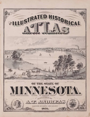
Cover this morning at The Map Room blog, the Minnesota Historical Society has scanned and made available a large collection of historic maps ranging from 1848 to 1907. The online collection is drawn from the society’s archive of 19,000 maps and 2000 atlas volumes. The main archive contains map dating back to 1581.
The online version of this amazing catalog contains plat maps and atlases created by the General Land Office and the Bureau for Land Management. The plat collection is searchable by county or township/range. The scanned atlas editions include a statewide coverage, as well as, Dakota, Hennepin, Ramsey, and Winona Counties.
I am not sure how recent the addition of the online map resources is, but I thought it may be useful to the handful of Minnesota readers.
No comments:
Post a Comment